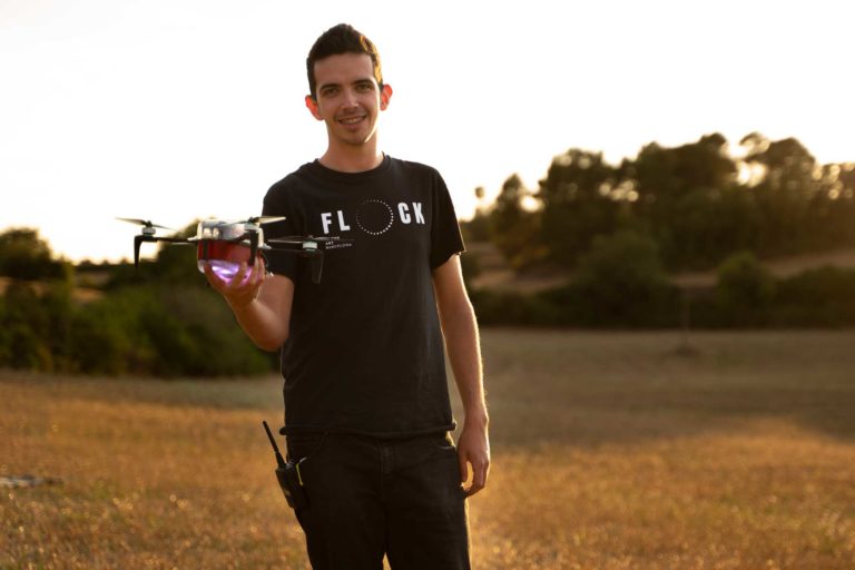
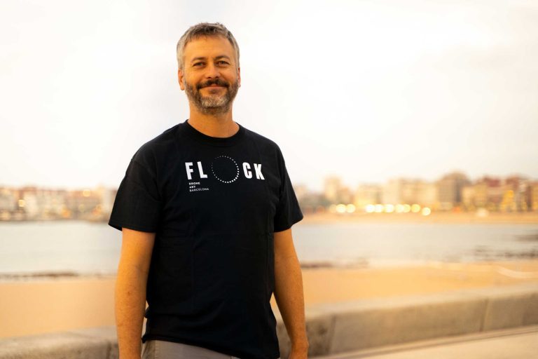
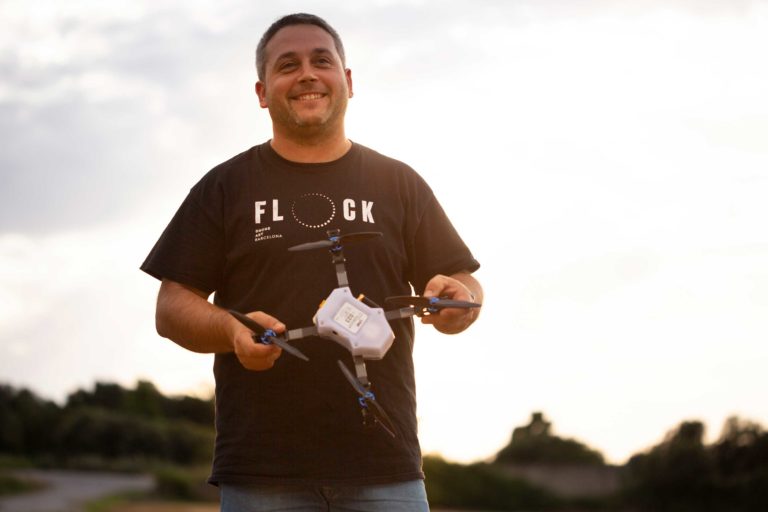
FLOCK TEAM
Flock Drone Art It is born from the union of different companies and people from different technical disciplines who form an innovative team with a lot of experience. Experts and professionals from the world of entertainment, aeronautical engineers, designers, artists, experts in geographic positioning, entrepreneurship among others... with a common link: the passion for drones.


As co-founder of the project, Joan was one of the first to dream about what we do on a daily basis. Contributing all his immense technical knowledge, patience and professional motivation to this project, learning and improving every day. For him and for a thousand other reasons, Flock Drone Art will fly high.
Thank you for everything Joan, without you we would be different.
Rest in peace.
Linked businesses

Link Produccions, a company with more than 15 years of experience dedicated to the production and direction of shows, music festivals and all types of events. Some of our clients are: Festival Portaferrada and Festival Portal Blau, among others.
www.linkproduccions.com

Drone Catalunya, Subbrand of Link Produccions dedicated to photography and video with drones.
http://www.dronecatalunya.cat

Mas Vinyoles Venture Factory is a startup creation company which follows a venture builder model to generate, launch and consolidate successful business projects in the fields of clean technologies (cleantech) and intelligent technologies (smart tech), with a “glocal” vision: local as a basis for undertaking with a global vision.
www.masvinyoleshub.com

Agrotech Geomap, a technology company with 10 years of experience in the mapping and new technologies sector. With a line of work based on Geographic Information Systems and GPS positioning, it has evolved towards drone technology, used to capture information and control automation in aircraft fleets.